


Why navigation is challenging for commercial robot vacuum cleaners
Conditions in commercial buildings pose a challenge for navigation systems. The areas are large, the floor plans vary, and they often change: doors are left open, trolleys are moved, people move through the areas, or several robots are operating simultaneously. Reliable navigation for robot vacuum cleaners must handle this reliably, without glitches or loss of orientation.
Another consideration is data protection. Many consumer devices use cameras. In commercial use, this can be problematic, as people or sensitive content may be captured. A professional solution therefore relies on laser-based SLAM navigation without camera images.
What SLAM means – technical classification
SLAM stands for ‘Simultaneous Localisation and Mapping’. The term SLAM Robotics describes algorithms that enable a robot to map and localise itself simultaneously. Two tasks run continuously in parallel:
- Localisation: Where is the robot at this moment?
- Mapping: What does the environment look like structurally?
SLAM is not a single sensor, but a mathematical approach in which the map and position are generated in parallel. Professional systems use laser sensors instead of cameras because this works independently of lighting conditions, is less prone to interference and complies with data protection regulations.
How SLAM navigation works in a robot vacuum cleaner
A robot vacuum cleaner with SLAM navigation continuously processes sensor data. The technical process is clearly structured:
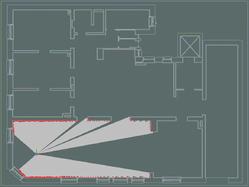
- The laser scanner scans the environment and generates several thousand measurement points per second.
- These points are grouped into shapes, edges and openings.
- New data is compared with the existing map.
- The position is calculated in real time using probabilistic models.
- Obstacles or changes are taken into account immediately; the route adjusts automatically.
Technical advantages of laser scanners over camera navigation
Laser SLAM solves typical problems that arise in commercial operations:
- Operates independently of light and shadow
- Highly precise positioning over long distances
- No data privacy risks due to image capture
- High route reproducibility
- Precision in confined spaces and long corridors
- Lower susceptibility to failure due to simple, robust sensor technology
Comparison: Laser SLAM vs camera navigation
How the Nexaro NR 1700 implements SLAM
The Nexaro NR 1700 operates using laser-based SLAM navigation, entirely without a camera. This consistently meets the requirements of the cleaning industry: high precision, clear maps and reliable positioning.
Practical benefits:
- Precise localisation even in complex areas
- Documentable cleaning performance
- Stable multi-shift operation
- No Wi-Fi required
- European servers and TÜV-certified security
With the Nexaro HUB, you can manage maps, control fleets and define operating times. This provides building service providers with a system that operates in a predictable and efficient manner.
Typical challenges – and how SLAM solves them
SLAM must react flexibly in real-world environments:
- Moving obstacles → real-time updates
- Symmetrical rooms → landmarks, feature recognition
- Rearranged furniture → local map adjustments
- Large open spaces → motion models, filters
- Dirt on sensors → adaptive error correction
This is precisely where the difference between simple orientation and genuine SLAM Robotics becomes apparent. SLAM is a technical foundation that determines reliability, quality and predictability in professional use. Laser-based methods impress with their precision, stability and data protection. The Nexaro NR 1700 consistently implements this technology and offers navigation designed for commercial use.
